Overview
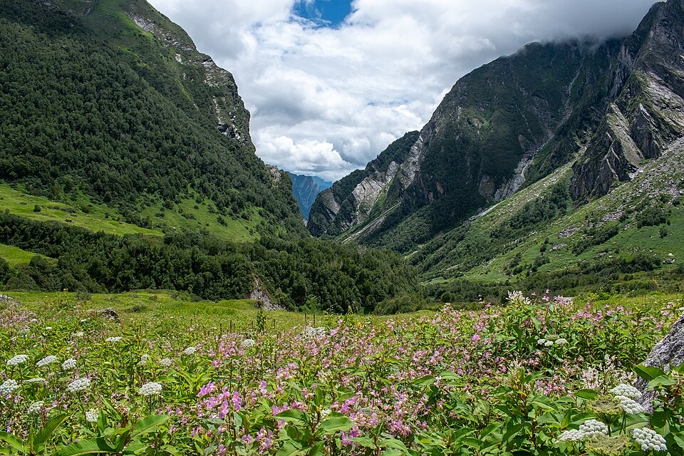
Satopanth Tal is one of the most famous high altitude lakes of Garhwal Himalaya. The lake is situated around 4,600 metres above sea level, under the shadow of Himalayan peaks of the Chaukhamba range and Neelkanth mountains, which is located just past Mana village in Chamoli district.
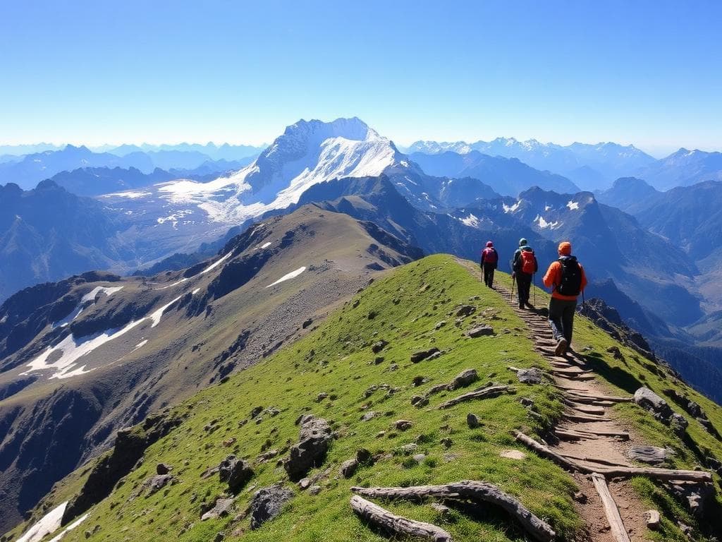
The tour usually starts from Badrinath. The trek route commences from the vicinity of Mana village, covering the valley of the river Alaknanda, the stunning beauty of Vasudhara Falls, and further Lakshmi Van and Chakratirth. The landscape changes throughout the way – from lush green areas to streams, boulder and moraine fields.
Satopanth Lake is equally significant from the viewpoint of religion in Hinduism as well. The triangular formation of the lake is related to the three Hindu gods—Brahma, Vishnu, and Shiva. According to mythology, the surrounding area is linked with the last journey of the Pandavas to reach heaven.
The journey is tough because of the high altitude, isolation, and rugged glacial terrain of the location. This journey should be described in a way that this trek can be done by mountain hikers accompanied by professional guides. The season and local permissions must be checked before starting the trek.
Highlights
- Satopanth Tal
- Vasudhara Falls
- Lakshmi Van
- Chakratirth
- Himalayan mountain views
Trek Details
Seasons
Departure Cities
Terrain
Itinerary
- 1
Rishikesh to Badrinath
Drive: approximately 10–12 hours Distance: approx. 300 km by road · No trekking Travel through Devprayag, Rudraprayag, Karnaprayag and Joshimath to Badrinath. Check in to your accommodation and prepare for the high-altitude journey. Overnight: Badrinath · approx. 3,100–3,300 m
- 2
Acclimatisation in Badrinath
Use the day to adjust to the altitude and explore Badrinath or Mana village. Confirm permits, weather conditions, local access and arrangements with an experienced trekking team. Overnight: Badrinath
- 3
Mana to Lakshmi Van
The guided trek follows the Alaknanda valley past Vasudhara Falls and into rugged terrain towards Lakshmi Van. The landscape transitions from the valley to rocky, high-altitude surroundings. Overnight: Lakshmi Van · approx. 3,600–3,700 m trek: approx. 9 km · 4–5 hours
- 4
Lakshmi Van to Chakratirtha
Continue with your guide across rocky slopes, boulder fields and glacial moraine. Chakratirtha is a high-altitude meadow with views of the surrounding Himalayan peaks. Overnight: Chakratirtha · approx. 4,000–4,200 m Trek: approx. 7–10 km · 4–7 hours
- 5
Chakratirtha to Satopanth Tal and back
Trek: approx. 10 km round trip · 6–8 hours This is the main excursion day, crossing challenging high-altitude terrain to reach the lake. The route is exposed to changing weather, and the final approach can involve loose moraine and snow or ice. Return to: Chakratirtha campsite
- 6
Chakratirtha to Lakshmi Van
Trek: approx. 7–10 km · 4–6 hours Descend carefully over the rocky route to Lakshmi Van. This overnight stop helps avoid an excessively long descent in one day.
- 7
Lakshmi Van to Mana and Badrinath
Trek: approx. 9 km, then a short road transfer Retrace the route past Vasudhara Falls to Mana, then take arranged transport to Badrinath.
- 8
Badrinath to Rishikesh
Distance: approx. 300 km by road · No trekking Return via Joshimath and the Alaknanda valley. Allow flexibility for mountain-road delays.
Things to Carry
Trek reviews
Reviews are opening soon for Satopanth Lake Trek. Share the route, season, difficulty, and trail experience.