Overview
The Rupin Pass is one of the famous cross passes of the Indian Himalayas that traverses from Rupin Valley to Sangla Valley in Himachal Pradesh. This pass varies depending on the selected route starting from either Dhaula or Jiskun and taking in some remote villages like Jakha before moving to more rugged alpine regions.
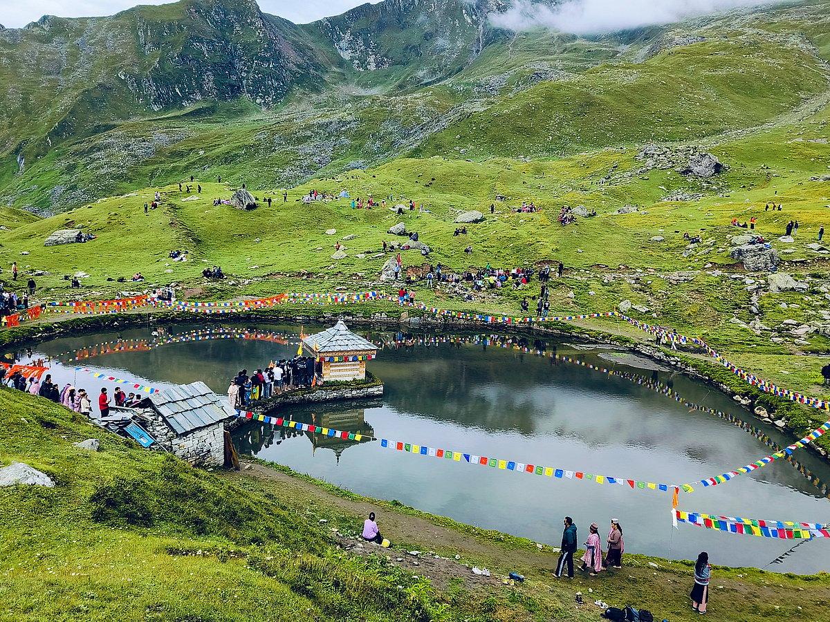
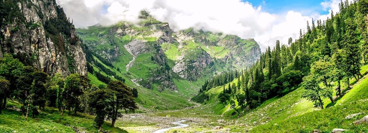
The scenic beauty along the trail is one of the unique aspects of this route. The lower part of the trail consists of forest tracks and local villages, while the upper part opens up to meadows, rock formations, snowfields and the magnificent Rupin Waterfall, where Dhanderas Thatch is a famous meadow and camping site. The upper section of the route heads to the Rupin Pass and continues with a descent to Ronti Gad region and finally to Sangla Valley.
Moreover, the journey offers the possibility of coming across mountain architecture, villages and unique landscapes of the western Himalaya range. As far as the crossover format is concerned, the journey does not end at the same place where it started – it starts and ends in two separate valleys.
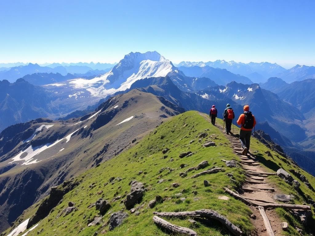
The difficulty level of Rupin Pass varies from moderate to difficult, depending on the snow and weather conditions, as well as the itinerary itself. Crossing the upper part may take a lot of effort due to steep snow-filled slopes and dangerous parts of the trail.
Highlights
- Rupin Waterfall
- Jakha Village
- Saruwas Thatch
- Dhanderas Thatch
- Rupin Pass
- Ronti Gad
- Sangla Valley
- Changing terrain
Trek Details
Seasons
Departure Cities
Terrain
Itinerary
- 1
Drive from Shimla to Jiskun
191 km · Approximately 10–11 hours · 7,630 ft (2,326 m) Travel through Rohru and the scenic Chainsheel Valley to reach Jiskun, the trek's starting point. This is a travel day; trekking begins the following morning.
- 2
Trek from Jiskun to Jakha
5 km · Approximately 4 hours · 7,630 ft to 8,755 ft Descend through forest before climbing towards Jakha, the highest village on the route. Enjoy traditional Himalayan architecture and views across the valley.
- 3
Trek from Jakha to Saruwas Thatch
8.1 km · 5–6 hours · 8,755 ft to 10,770 ft Walk through dense fir forests, descend towards the Rupin River and continue through meadows and rhododendron vegetation. Saruwas Thatch offers beautiful alpine scenery.
- 4
Trek from Saruwas Thatch to Dhanderas Thatch
3.5 km · Approximately 2 hours · 10,770 ft to 11,700 ft Cross scenic meadows and streams to reach the famous Lower Waterfall campsite. The enormous Rupin Waterfall dominates the surrounding landscape.
- 5
Trek from Dhanderas Thatch to Upper Waterfall Camp
3 km · 2–3 hours · 11,700 ft to 13,275 ft Ascend beside the waterfall through increasingly rugged terrain. The upper campsite lies in a dramatic high-altitude basin and prepares trekkers for the pass-crossing stage.
- 6
Upper Waterfall Camp to Rupin Pass and Ronti Gad
10 km · 10–11 hours · 13,275 ft → 15,280 ft → 13,005 ft Cross the high pass through the Rata Pheri snowfields and Rupin Gully, then descend towards Ronti Gad. This is the most strenuous stage of the itinerary, with steep terrain and potentially difficult snow conditions.
- 7
Trek from Ronti Gad to Sangla Kanda
5 km · Approximately 3 hours · 13,005 ft to 8,660 ft Descend through the grasslands of Sangla Kanda, with views of the Kinner Kailash range. Reach the Sangla Valley and arrange onward transport from the roadhead.
Things to Carry
Trek reviews
Reviews are opening soon for Rupin Pass Trek. Share the route, season, difficulty, and trail experience.