
Overview
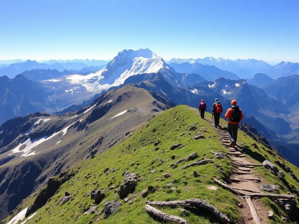
Manaslu Circuit Trek follows the mountain terrain around Mount Manaslu that stands at 8,163 meters above the sea level. It starts from the lower valley of Budhi Gandaki and crosses through villages like Machha Khola, Jagat, Deng, Namrung and Lho to get to the upper valley.
The terrain gradually changes from subtropical forests and gorge of rivers to pine forests, cultivated fields and settlements at high altitudes. An important settlement in the upper valley is Samagaun where one gets to see the majestic Mt. Manaslu and also the local Tibetan culture of Buddhism. The settlement of Samdo is located in the northern direction from here.
The trail will go to the vicinity of Dharamsala, otherwise referred to as Larkya Phedi, where there will be a traverse through Larkya La Pass. This will be the highest point on the trek with views of Himalayan peaks surrounding the place. There will be a descent to Bimthang and forested valleys to the west of the circuit.
The trip blends nature and culture, but because of its remoteness and height, careful planning must be done. The Manaslu region is a restricted trekking zone.
Photos And Videos
Highlights
- Mount Manaslu
- Samagaun village
- Larkya La Pass
- Buddhist heritage
- Bimthang valley
Trek Details
Seasons
Departure Cities
Terrain
Itinerary
- 1
Kathmandu to Machha Khola
Drive: 8–10 hours · Overnight: Machha Khola (~870–930 m) Travel by road through Nepal's river valleys and mountain villages to the starting point of the trek. Road conditions can make the journey longer.
- 2
Machha Khola to Jagat
Approx. 16–20 km · 6–8 hours · Jagat (~1,340 m) Follow the Budhi Gandaki River through forested paths, small settlements and suspension bridges, with several ascents and descents.
- 3
Jagat to Deng
Approx. 17–19 km · 6–8 hours · Deng (~1,860 m) Pass through Philim and forested river valleys. The route gradually climbs into the upper Budhi Gandaki region.
- 4
Deng to Namrung
Approx. 17–19 km · 6–8 hours · Namrung (~2,630 m) Trek through pine and rhododendron forests, cross bridges and pass villages influenced by Tibetan Buddhist culture.
- 5
Namrung to Shyala
Approx. 14–16 km · 5–7 hours · Shyala (~3,500 m) Pass Lho village and enjoy increasingly open mountain views. The significant rise in altitude makes a slow, steady pace especially important.
- 6
Shyala to Samagaon
Approx. 7–10 km direct · 3–5 hours · Samagaon (~3,530 m) Walk to the main village beneath Manaslu. Keep this day relatively short to allow your body to adjust to the altitude. A detour to Pungyen Gompa would add distance and time.
- 7
Acclimatisation at Samagaon
Optional hike: approx. 3–14 km · 2–7 hours Spend a second night at Samagaon. Choose a suitable, guided walk to Birendra Lake or another appropriate viewpoint. Manaslu Base Camp is a much longer, higher outing and should only be considered if conditions, acclimatisation and the guide's assessment support it.
- 8
Samagaon to Samdo
Approx. 8–10 km · 3–4 hours · Samdo (~3,875 m) Follow the valley through high-altitude grazing land to Samdo, one of the last permanent settlements before the pass. Rest after arrival.
- 9
Acclimatisation at Samdo
Optional hike: approx. 3–8 km · 2–5 hours Take a conservative acclimatisation walk near Samdo and return to sleep at the village. The long hike toward the Tibetan border is not essential and may be too strenuous before the pass crossing.
- 10
Samdo to Dharamsala (Larkya Phedi)
Approx. 6–7 km · 3–4 hours · Dharamsala (~4,460 m) Climb gradually toward the pass base camp. Rest, hydrate and prepare for an early start the next morning. Conditions and accommodation here are basic.
- 11
Cross Larkya La Pass to Bimthang
Approx. 15–25 km · 8–10+ hours · Pass: ~5,106 m · Bimthang: ~3,720 m Start before sunrise with your licensed guide. Cross the high pass if weather and trail conditions are safe, then descend to Bimthang. This is the hardest day, and the crossing must not be forced if conditions deteriorate.
- 12
Bimthang to Tilije, then onward by road
Trek: approx. 15–20 km · 5–7 hours, plus road transfer if available Descend through forest and villages toward Tilije or Dharapani. If transport is available and the trail day finishes early enough, continue by vehicle toward Besisahar. Otherwise, overnight en route and adjust the plan.
- 13
Return to Kathmandu
Road journey: typically 7–10+ hours, depending on starting point and conditions Continue by road from Besisahar to Kathmandu. Allow for delays and avoid booking a tight international flight connection on the same day.
Things to Carry
Trek reviews
Reviews are opening soon for Manaslu Circuit Trek. Share the route, season, difficulty, and trail experience.