Overview
Auden’s Col is a high altitude mountain pass which lies between the mountain groups of Gangotri III and Jogin I in Uttarakhand. The pass got its name from the geologist John Bicknell Auden and it has connections with the expeditions to the Garhwal Himalayas in the 1930s. The published history of treks shows that 1939 was the year of first crossing.
Expeditions usually start at Gangotri and go through the Rudugaira area, reach Auden’s Col. Then the route passes through the very glaciated Khatling Glacier area and finally ends up in the Bhilangana valley. Depending on the expedition program, it can lead further to Gangi and Ghuttu or connect with the Kedarnath area by crossing the high mountain areas.
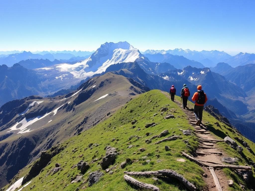
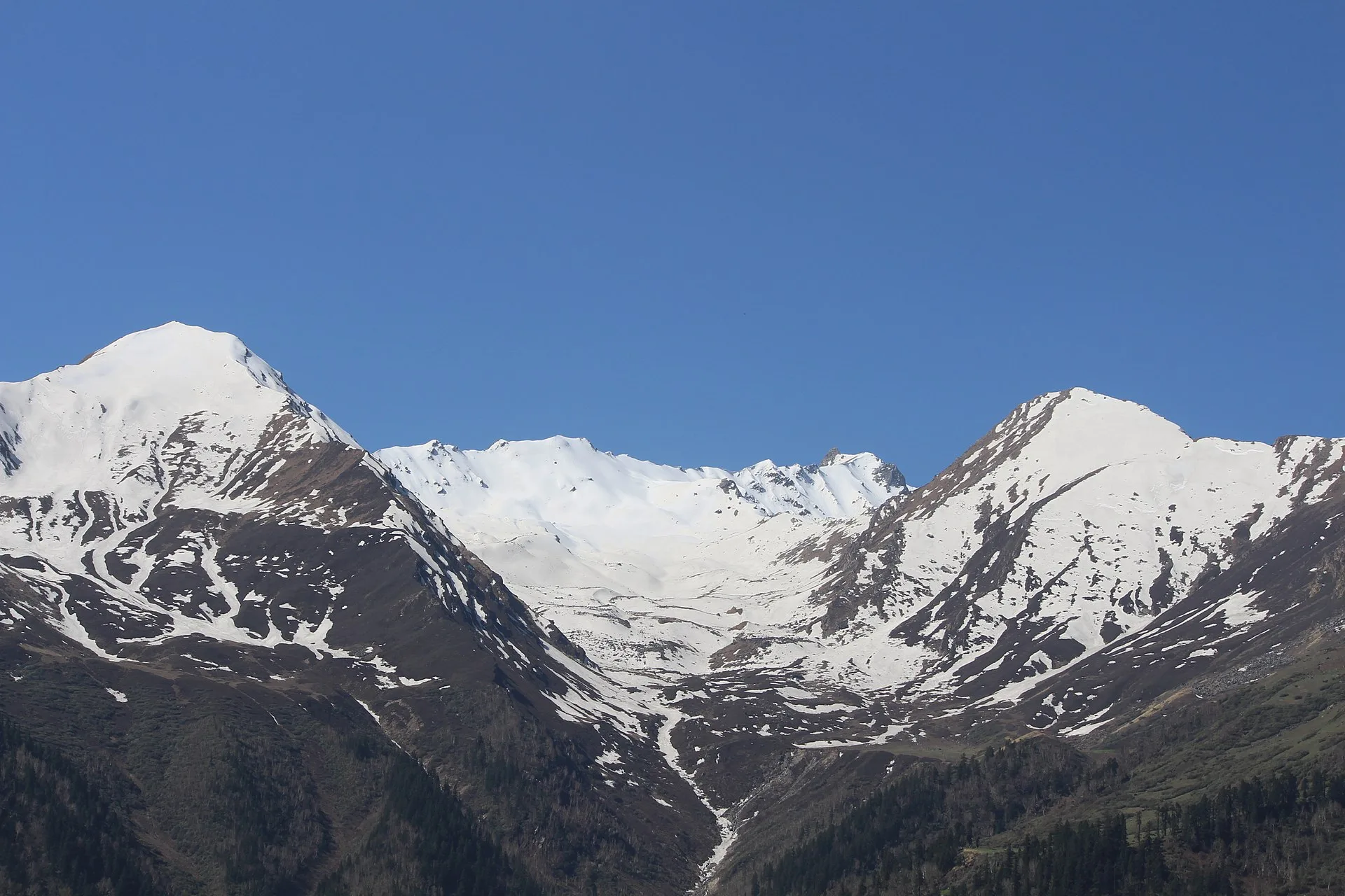
The landscape changes along the expedition significantly: forest zones, alpine meadows, moraines, snow/glacier zones. The views of Gangotri and Jogin mountain groups, Khatling Glacier and neighboring Himalayan mountain peaks are among the main points of interest.
Auden's col should not be described as a regular trekking trail. Crevasses, steep slopes of ice and snow, and high altitudes along with rapid change in weather conditions make it a dangerous path. The person going for this trek should have really good fitness and also previous experience of high altitudes is a must.
Highlights
- Auden’s Col
- at approximately 5
- 490 m.
- Views of the Gangotri and Jogin mountain groups.
- The dramatic landscape of Khatling Glacier.
- Remote alpine valleys and moraine formations.
- The Rudugaira valley and its mountain scenery.
- A geographical connection between the Gangotri and Bhilangana regions.
- A historically significant pass in Himalayan exploration.
Trek Details
Seasons
Departure Cities
Terrain
Itinerary
- 1
Dehradun/Rishikesh to Gangotri
Drive: approximately 240–270 km · 8–10 hours Travel through Uttarkashi to Gangotri, the starting point of the expedition. Settle into accommodation and prepare for the high-altitude journey.
- 2
Acclimatisation at Gangotri
Spend the day adjusting to the altitude, with a gentle walk if advised by the expedition leader. Review the route, weather forecast and expedition safety procedures.
- 3
Gangotri to Nala Camp
Approx. 6–7 km · 3,760 m Begin trekking through forested slopes and mountain meadows. The trail gradually enters more remote alpine terrain. Camp overnight at Nala Camp.
- 4
Nala Camp to Rudugaira Base Camp
Approx. 6–7 km · 4,350 m Continue uphill through alpine meadows and rocky terrain towards Rudugaira Base Camp. The surrounding mountain views become more dramatic as the tree line recedes.
- 5
Acclimatisation at Rudugaira Base Camp
Remain at base camp to acclimatise and recover. The expedition team assesses weather, snow conditions and readiness for the higher camps.
- 6
Rudugaira Base Camp to Auden’s Col Base Camp
Via Gangotri Base Camp and Sukha Tal Trek across increasingly rocky, moraine-covered terrain towards Auden’s Col Base Camp. Pass the Gangotri Base Camp area and Sukha Tal, a small lake set amid rugged glacial surroundings. Prepare for the following day's major crossing.
- 7
Auden’s Col crossing to Khatling Glacier Camp
High point: approximately 5,490 m Cross Auden’s Col between the Gangotri and Jogin mountain groups, with expansive views of the surrounding glaciers and peaks. Descend towards Khatling Glacier Camp. This is a highly demanding mountaineering day, dependent on safe conditions.
- 8
Khatling Glacier Camp to Zero Point
Approx. 8–10 km · around 3,870 m at Zero Point Continue across the rugged Khatling Glacier and its surrounding moraine landscape. The route eventually descends towards Zero Point, near the lower end of the glacier.
- 9
Rest and reserve day at Zero Point
Recover after the glacier crossing. This day may also be used to accommodate weather-related delays, depending on the expedition schedule.
- 10
Zero Point to Chowki
Approx. 7 km · 3,580 m Leave the high glacial landscape and descend towards the Bhilangana Valley. The surroundings gradually become greener, with open meadows and a more established campsite at Chowki.
- 11
Chowki to Masar Tal
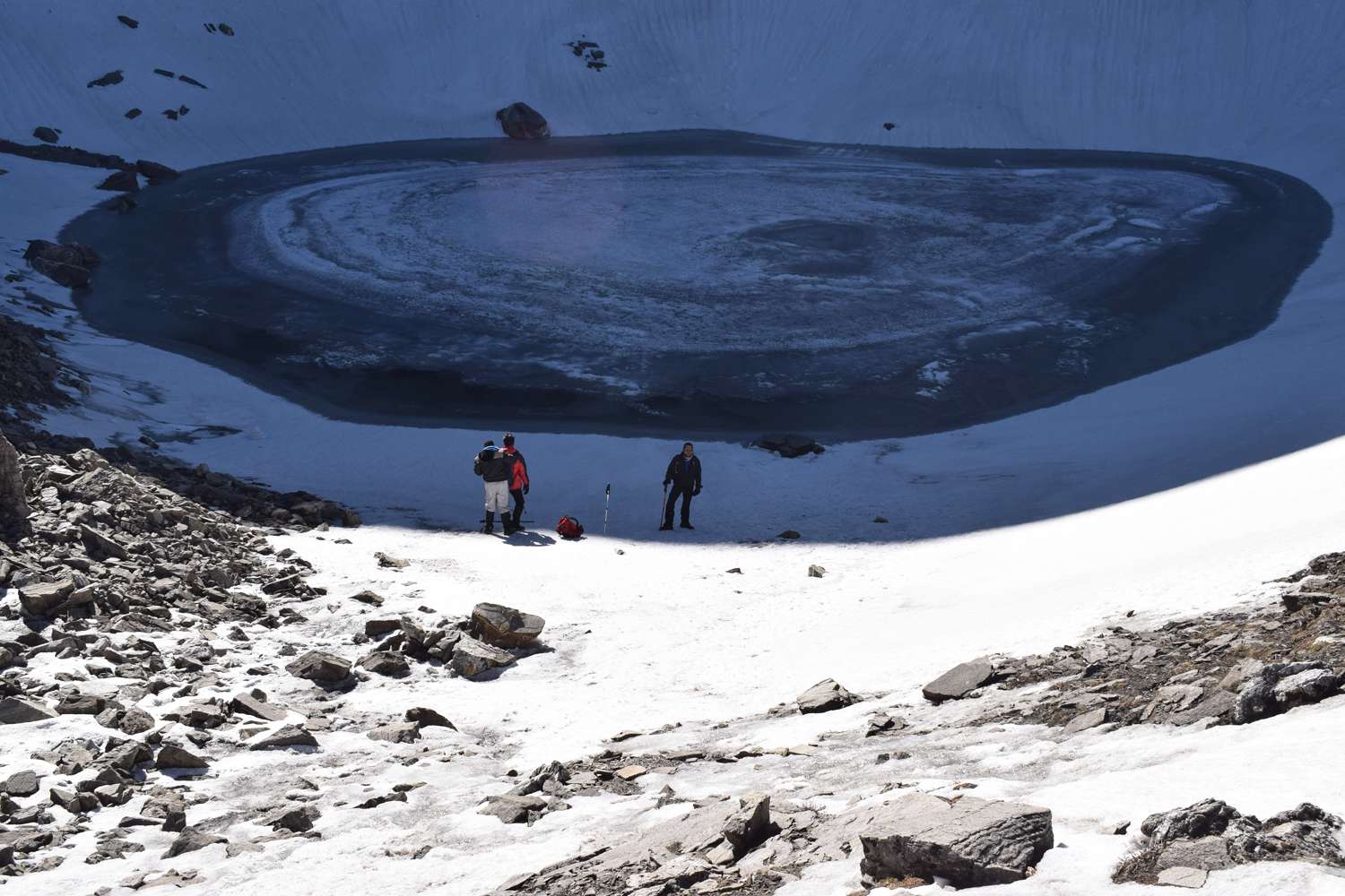
Approx. 8 km Ascend through rugged mountain terrain towards Masar Tal, a remote high-altitude lake surrounded by rocky slopes. The route offers views of the dramatic Garhwal peaks, including the Thalay Sagar region.
- 12
Masar Tal to Vasuki Tal via Mayali Pass
Approx. 12 km · Mayali Pass around 5,000 m Cross the high mountain terrain of Mayali Pass and continue towards Vasuki Tal. This is another strenuous day involving exposed alpine and glacial landscapes. Overnight near Vasuki Tal, subject to the route and campsite conditions.
- 13
Vasuki Tal to Kedarnath
Approx. 7–8 km Descend from the high-altitude lake towards Kedarnath. The landscape transitions from remote mountain terrain to the well-known Kedarnath pilgrimage area. Overnight at Kedarnath if accommodation and access are available.
- 14
Kedarnath to Gaurikund and onward transfer
Descend to Gaurikund along the established pilgrimage route, then continue by road towards the designated departure city. The onward journey may require an overnight stop.
- 15
Reserve day and departure
Keep this day available for delays caused by weather, snow conditions, road closures or changes to the expedition schedule. If it is not needed, use it for the planned return journey.
Things to Carry
Trek reviews
Reviews are opening soon for Auden's Col Trek. Share the route, season, difficulty, and trail experience.